Surveying & mapping
Mapping
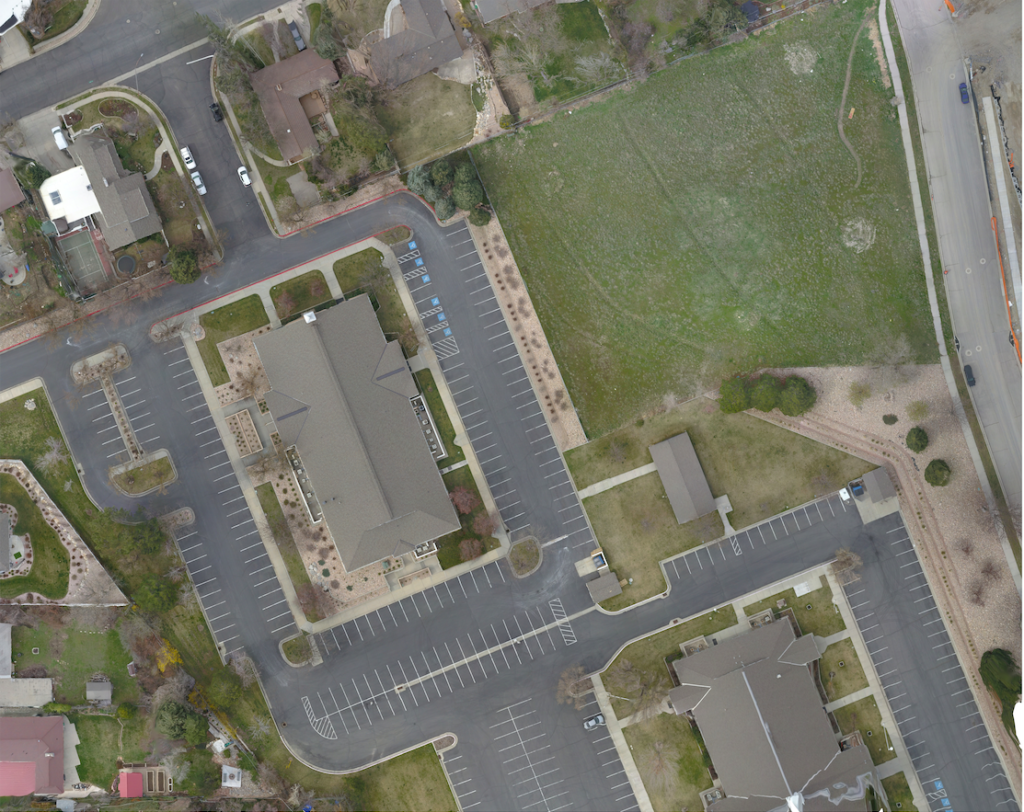
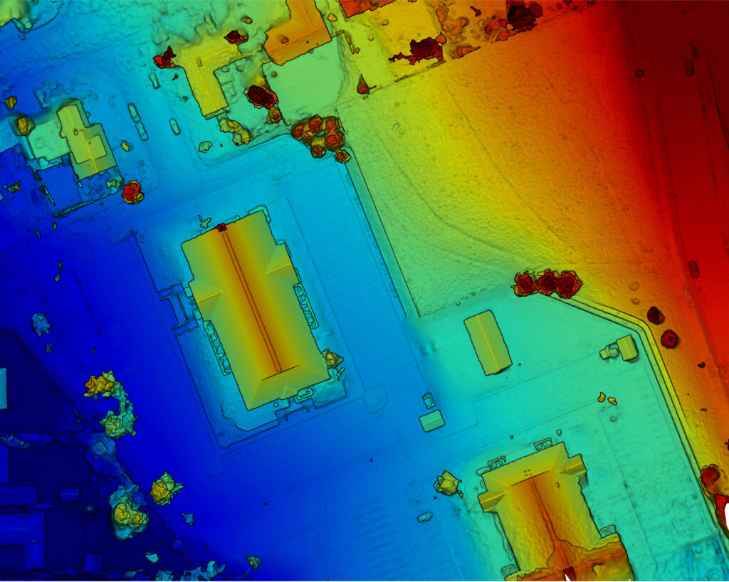
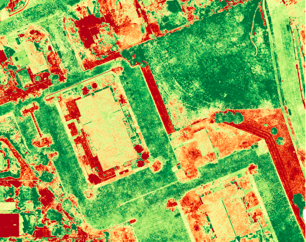
Our high-resolution imaging and 3D modeling services provide essential data for precise decision-making. From visualizing terrain to optimizing resource allocation, we help streamline your projects with clarity and precision.


Surveying
Drone surveying employs drones to capture detailed imagery and data of land and structures from above. This modern approach offers companies efficient and cost-effective insights into terrain features, infrastructure layouts, and construction progress, facilitating informed decision-making and better project outcomes.
Professional Pilots
Our pilots are Part 107 certified, guaranteeing expert and compliant drone operations for your projects.
5+
Years of Experience
100+
Flight Operations
#1 Rated
In Utah County
SPEAK TO US!
Get in touch with us today to discuss how our drone services can streamline your workflow and provide unparalleled insights. Fill out the form, and our team will shortly get back to you to discuss your needs and tailor a solution that fits your requirements perfectly.
